


Western Australia Handy Map l Hema Maps
Original price
$9.95
-
Original price
$9.95
Original price
$9.95
$9.95
-
$9.95
Current price
$9.95
#justanotherdayinWA Have you explored the West Coast? You will love pouring over this Western Australia Handy Map to plan your next adventure.
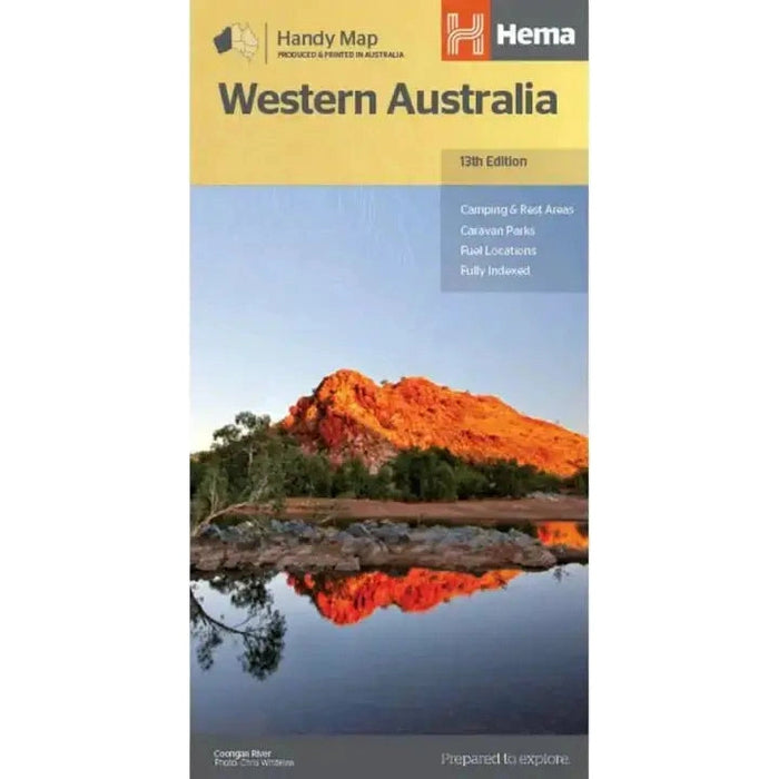
Western Australia Handy Map (12th Edition)
A compact map of Western Australia for touring throughout the state with a distance grid and index for planning and reference. Marked on the mapping are highways, major and minor roads, camping and rest areas, 24-hour fuel, information centres, picnic areas, caravan parks and lookouts.
Features:
- Camping areas
- Caravan Parks
- Fully indexed
- Easy to use
Specifications:
- Edition: 12th
- Publication Date: 01/11/19
- Scale: 1:2,500,000
- Folded size (WxHxD): 125mm x 250mm x 3mm
- Flat size (WxH): 500mm x 875mm
- Weight: 0.09kgs


